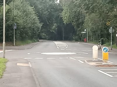
Possible prehistoric sites along Heol Miskin

The area along Heol Miskin from Pontyclun to Miskin had a number of historic features along it which have now been covered by the road and houses.
In the area above Heol Miskin a number of circular features were observed.
These were mostly-visible as dark cropmarks, but two were visible as earth mounds-in the 1940s. One of these cropmarks showed as a dark ring with-a lighter shaded centre. These features were mostly circular and-about 5m in diameter, although there was at least one larger, ovoid-shaped cropmark which was about 10m in length.
It is difficult to give a definite interpretation of these-circular cropmarks however given the presence of prehistoric finds close to the site, there is a strong possibility that these features are representative of a prehistoric use of the land, perhaps either a cemetery, a settlement site, or combination of the two.
Bronze age ring ditches
Along the line of Heol Miskin were two ploughed out ringworks noted on record maps in 1955. These had been revealed by drought, on the slope to the south and were about 20-25m in diameter, with the differential growth of grass suggesting ditches about 2m wide.
Woodlands from road down to the River
These woods are shown as established woods in old Ordnance survey maps from 1874 which means that they are likely to be at least 200 years old
For more information about the history of the community of Pontyclun please visit our online museum