Area of Middle age farming by Miskin Manor east of A4119
The area of land lying either side of the lane from the A4119 to Miskin Manor have quite a bit of evidence of use going back into mediaeval times.
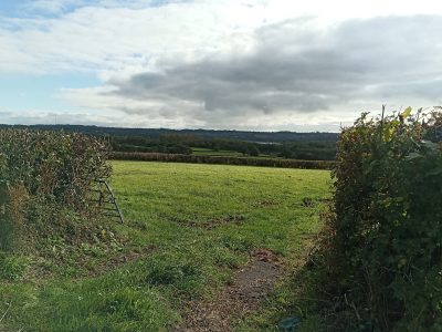
To the south west of this lane in the fields is a sunken trackway which was identified when preparatory works were being done for the M4 in the 1970s.
To the South/East in the fields there are field systems visible including 4 lynchets, aligned N-S along valley slope.
Lynchets are earth terraces along slopes. They are a common feature of ancient field systems in the British isles.
Each is about 76m long & were covered in 12-14th Century potsherds showing the area had been cultivated in the Middle Ages
As you head North up this lane away from Miskin manor and towards Groesfaen there is a disused post medieval Lime Kiln near to Llwyn y Pennau house and in the field to the west of Ty Newydd was the site of LLangoed chapel which was still in use in the 14th Century.
For more information about the history of the community of Pontyclun please visit our online museum