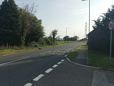
Castell y Mwnws

The area running from Brynsadler towards Llanharry has been called Castell y Mwnws for many hundreds of years, though the name is believed to be post medieval.
In the area are a number of historic locations showing usage over time, in particular-
- North of the road is the remains of a tramway which was here when the 1st edition of the Ordnance survey. This shows that it was here from before the 1840s
- Going south there is a medieval hollow way being a sunken path which ran from St Anne’s church to Elm Farm
- In the fields just south of the M4 are the remains of many banks and ditches. These are probably medieval though this has not been ascertained definitively
- In the ground where the M4 is now there was a Romano-British ring ditch
For more information about the history of the community of Pontyclun please visit our online museum